Panama Canal Railway
History
Panama has always been seen as a unique and important place due to its potential for connecting the Atlantic and Pacific Oceans. Before the Panama Canal, in 1855, the United States built the Panama Railroad, which was used to unite traffic from the two oceans. Eventually, the railway was used to help build the canal. Now, the railway is used mainly by local commuters and tourists.
The railroad was initially called the Panama Railway, or Ferrocarril de Panamá. It still maintains this name in Spanish, but in English, because the railway is operated by the Panama Canal Railway Company, the train is known as the Panama Canal Railway.
Building this railroad cost $8 million. Also, between five and 10 million people died during construction.
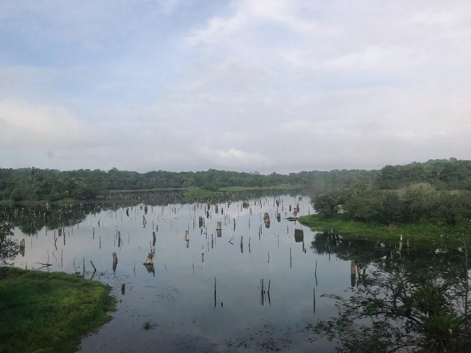
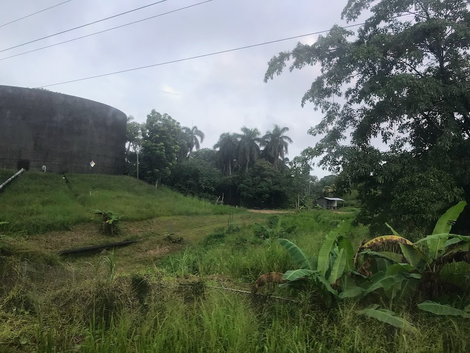
The area through which the railway runs has a really interesting history. For much of the 20th century, it was known as the Panama Canal Zone, a territory that was basically administered by the United States while they built and operated the canal during its first half-century in existence. This area was very "American"--English-speaking grocery stores where canal workers would shop, English-speaking schools where their children would study, American flags, etc. They even structured the Panama Canal Zone like a Jim Crow society of the United States South with separate neighborhoods and store entrances for non-white people. Even though the area is "completely Panamanian" now, with the canal having been taken over by Panamanian authorities, you can still find traces of U.S. occupation--basketball courts, baseball fields, etc.--in this area today.
Radio Ambulante did a really cool podcast episode about this area called La Zona. I posted my reflection of the episode here: https://files.journoportfolio....
Here is a picture of the former Panama Canal Zone:
The Journey
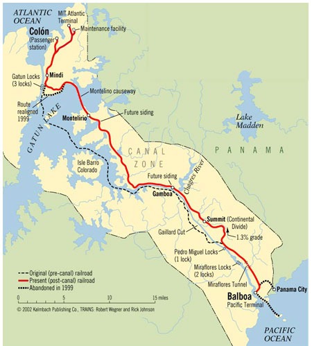
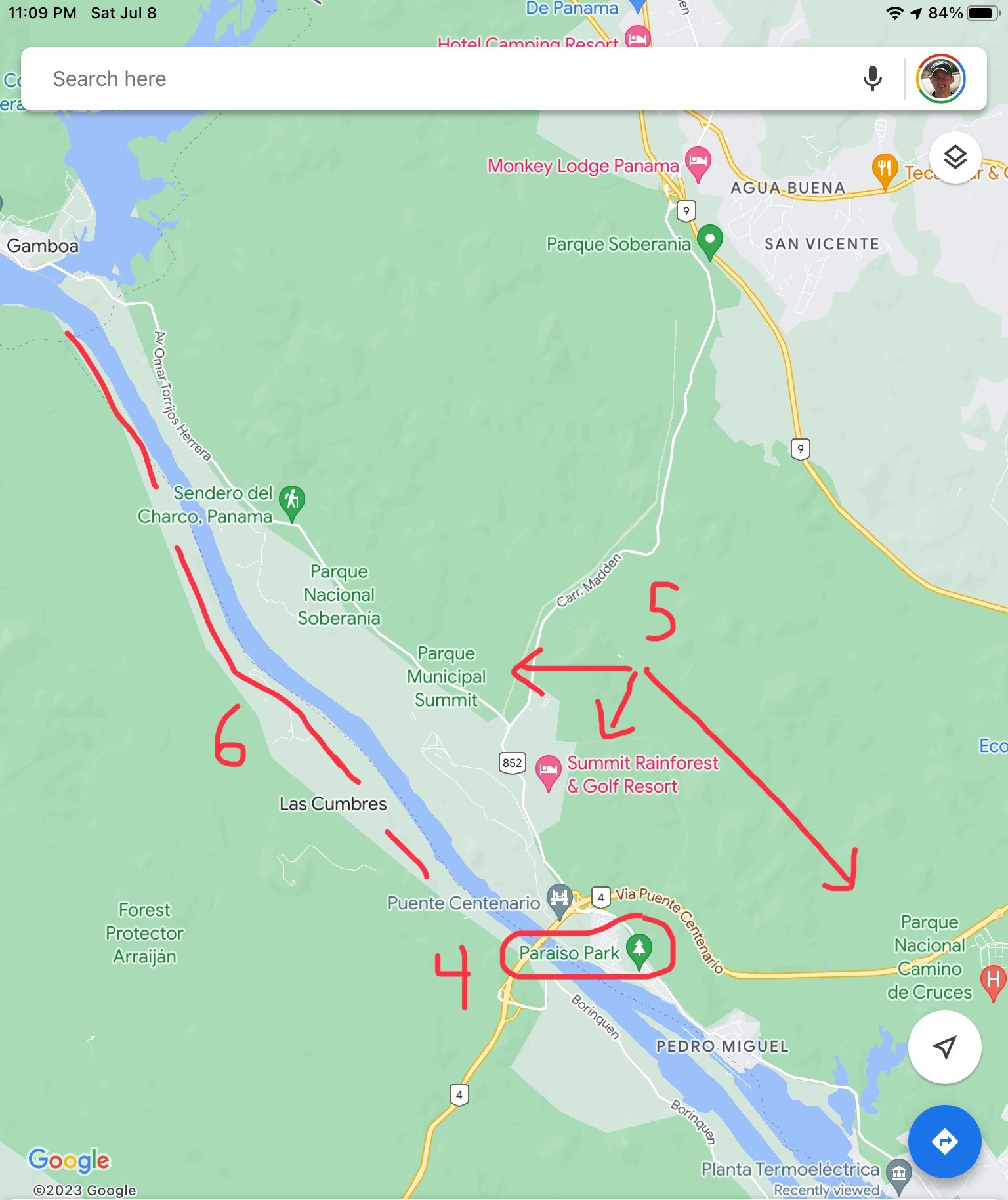
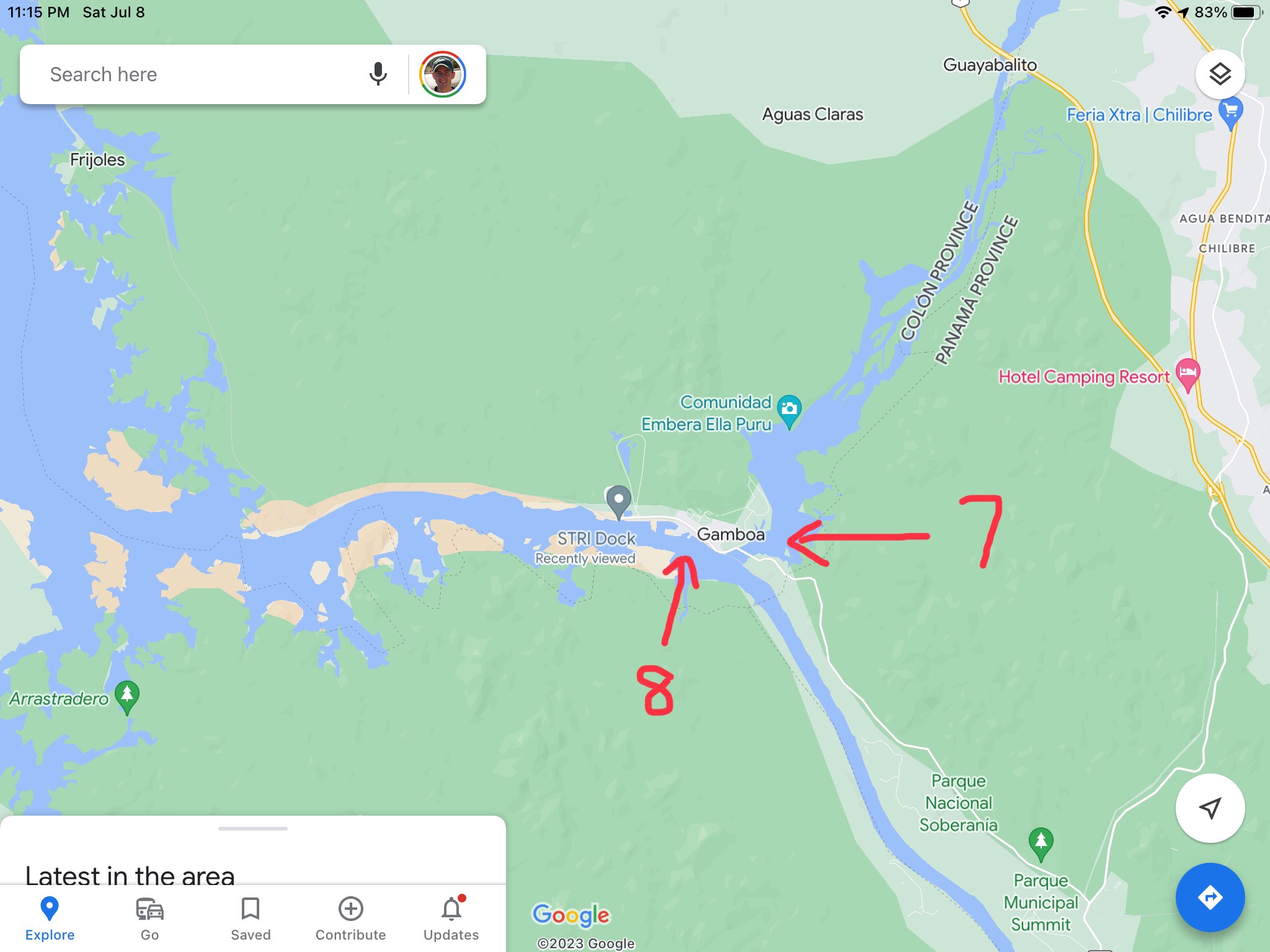
This picture shows the path of the train:
How to Access
There are two Panama Canal Railway stations--One in Panama City and another in Colón, Panama's "second city" on the northern, Atlantic coast directly opposite the isthmus from Panama City.
Here are the locations to put in your map in order to see exactly where each one is:
- Panama City: Estación de Pasajeros de Corozal
- Colón: Estación de Pasajeros del Atlántico
Unless you are staying within walking distance of a station, you will likely need a taxi to get to it. If in Panama City, it is easy to call an Uber. In Colón, you will likely have to flag or call a local taxi.
Schedule & Tickets
The train only runs twice per day: Once from Panama City to Colón at 7:15 a.m. and once more from Colón to Panama City at 5:00 p.m. (Clearly, it seems to be set up for commuters, but there were plenty of tourists on it with me, too.)
There is no website where to buy train tickets online. I bought my tickets at the station in Panama City.
A one-way ticket for a tourist will range between $15 and $25, depending on your age (child, adult, or senior) and the type of car where you want to ride (luxury coach vs. luxury dome car). (Surely, there is a lesser fee for residents.)
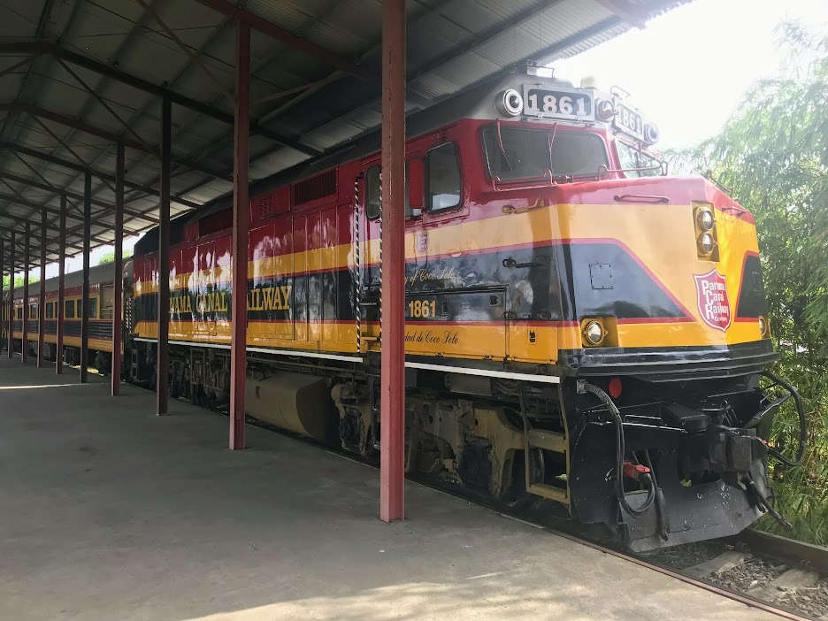
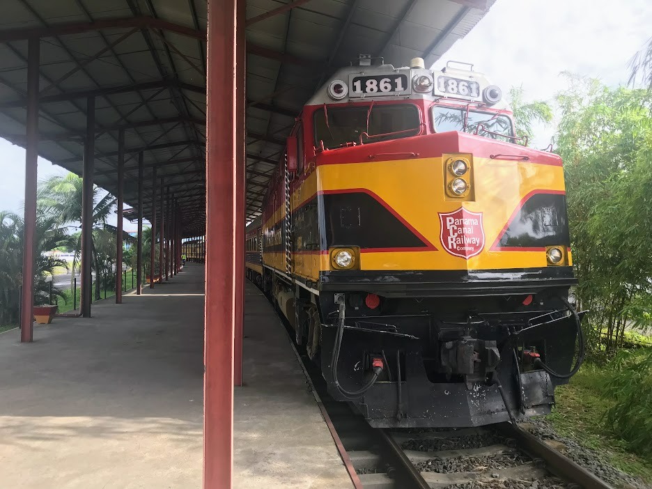
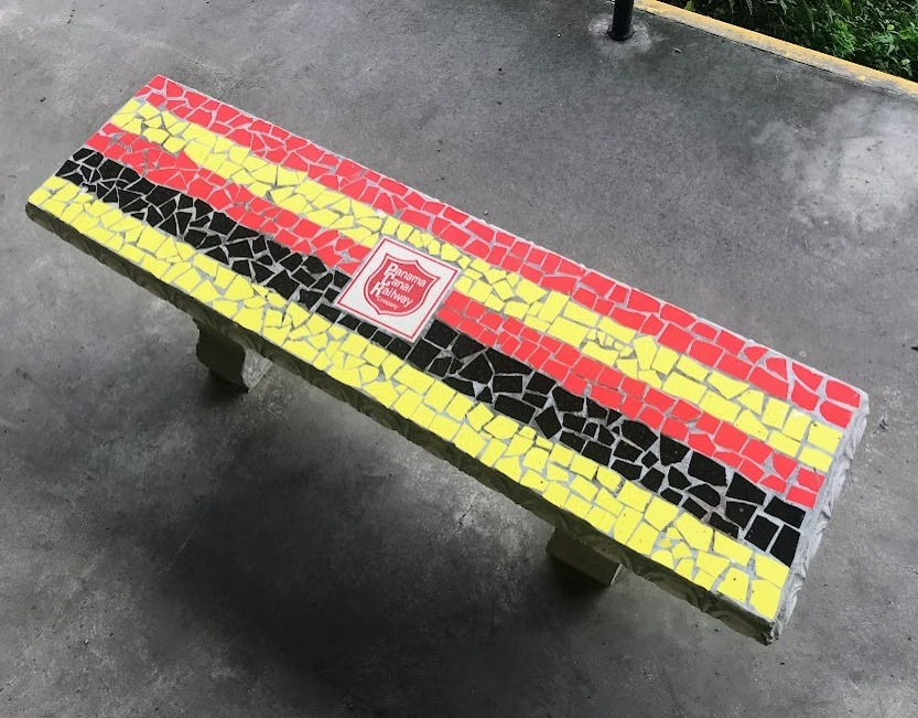
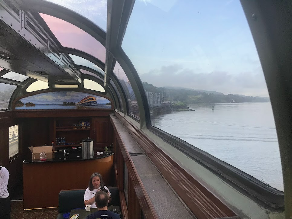
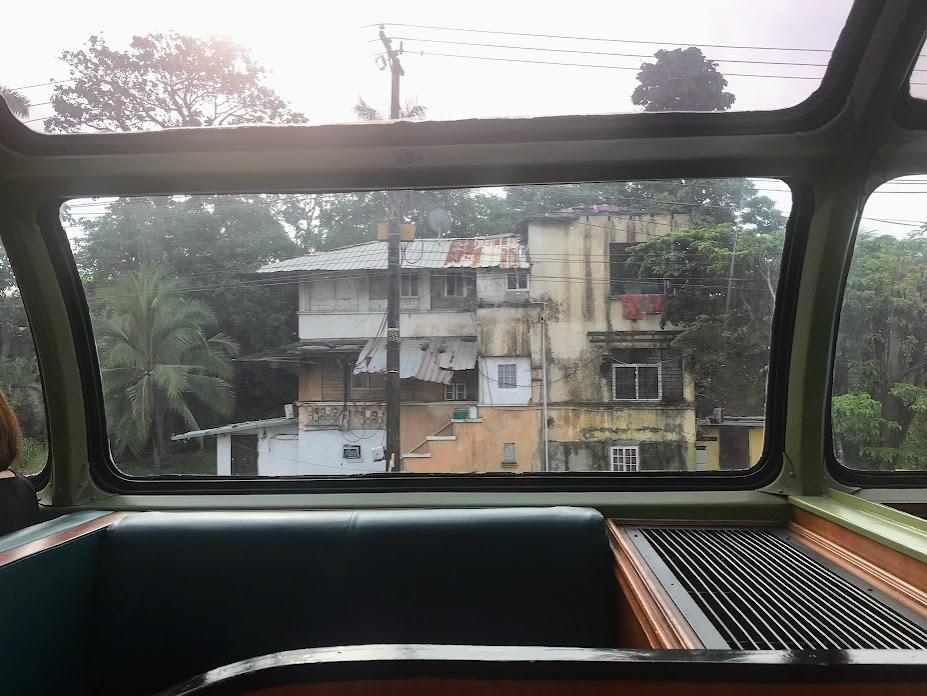
The Train
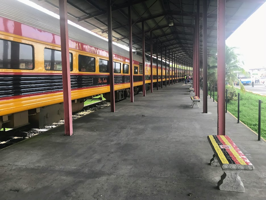
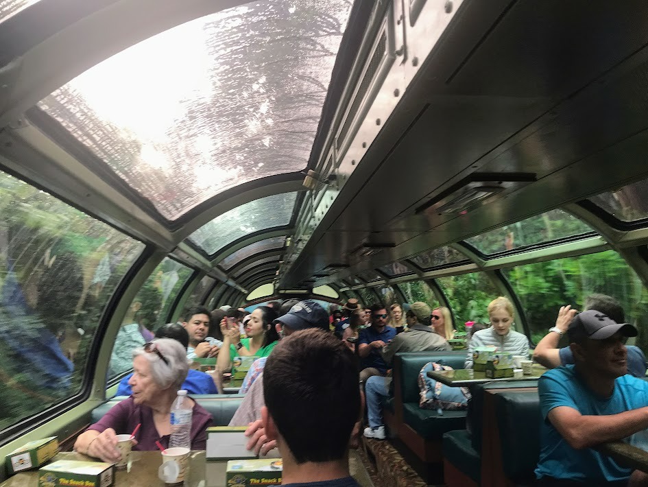
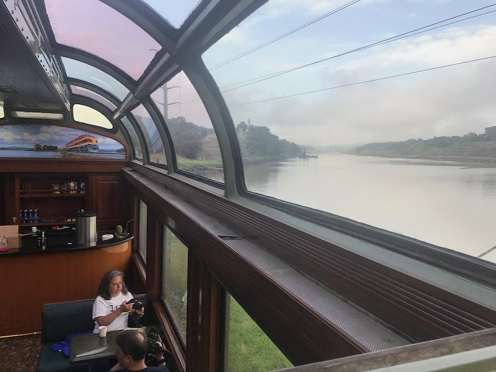
Inside the Cars
Landmarks 1-3
Next are pictures that I took of notable landmarks that we passed in the canal zone on the train. These aren't meant to be high quality photos or anything--Just interesting pieces of evidence of what is here and what the landscape of this historical area looks like.
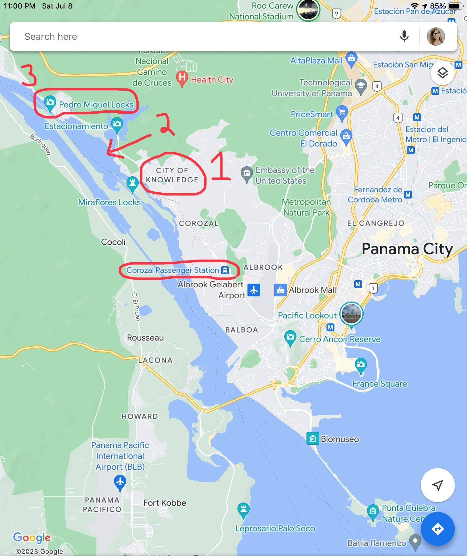
1) Ciudad del Saber
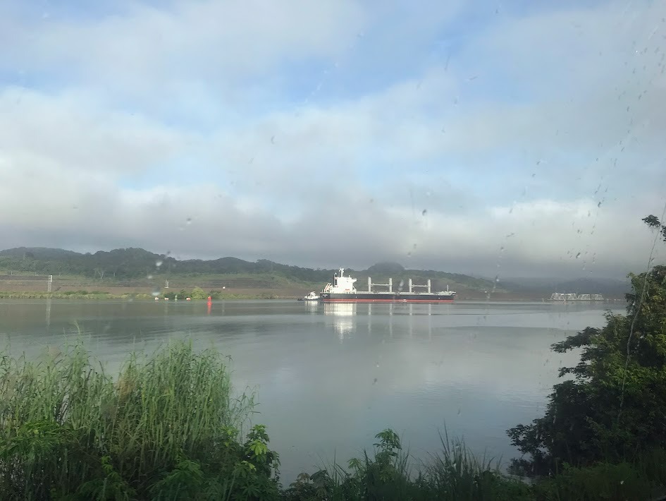
2) Miraflores Lake
One of the first notable places that we pass through is Ciudad del Saber, or the City of Knowledge. Initially, there was a United States Army base here in the Panama Canal Zone. As part of the Trujillo-Carter Treaties, ownership of this base was given to Panama. The area has since been converted into something like a "business park," except not only do technology companies occupy the buildings, but also NGO's and academic institutions, hence the name. I don't have any pictures of this area, as it wasn't visible from the train, but surely you can find some somewhere else on the Internet.
Miraflores Lake is one of 17 manmade lakes in the canal. This one is right between the Miraflores and Pedro Miguel Locks, which are on the Pacific / southern side of the canal.
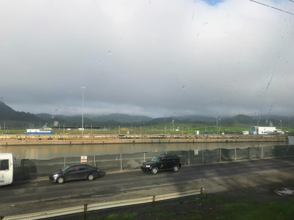
3) Pedro Miguel Locks
In the picture below, you can kind of see the Pedro Miguel Locks. These locks were built in 1911.
The other locks on the Pacific side of the canal are the Miraflores Locks. I visited these locks and wrote about them here: https://www.willdodds.com/trav...
Landmarks 4-6
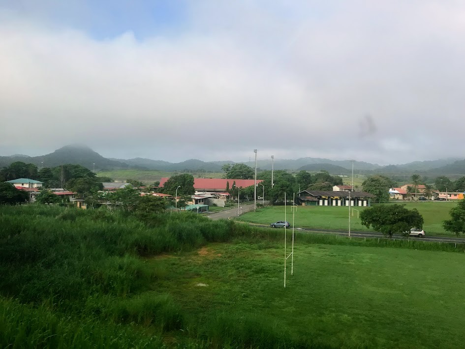
4) Cancha el Infierno, Parque Paraiso
I took this picture while passing by the town Paraíso, or "paradise." Paraíso was developed as a stop for travelers going through the isthmus of Panama from ocean to ocean, first during the Spanish colonial era on foot, and then next along the Panama Railroad that was built by the United States in the 1850's. Paraíso was occupied as a settlement by the French during their attempt to build the Panama Canal in the late 1800's and then again as a "U.S. town" in the United States' Panama Canal Zone during their construction and occupation of the canal during the first half of the 20th century. Paraíso is now a fully Panamanian town.
In the picture below, you can see half of a rugby field. It's kind of funny that the team that plays on this field is the Dragones Rugby Club and the name of the field is El Infierno, or "hell" (in "paradise..." ha-ha...).
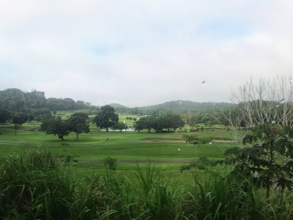
5) Summit Golf Course
This is just a golf course, but the area has a lot of significance.
Summit: Not only the golf course, but a number of sites in this area--rainforest, zoo, national park, school, etc.--have the word "summit" in their titles because this is the summit, or highest point, of the Continental Divide of the Americas in Panama, the mountainous region/line that divides the river systems that drain into Pacific Ocean on one side and the Atlantic on the other.
Parque Nacional Camino de Cruces: The golf course was built in the site of this abandoned national park, which was named after the historic route (explained below) that went through it.
Camino de las Cruces: Before the Panama Railway and Panama Canal were constructed, people still used the isthmus to travel between the Pacific and Atlantic Oceans. El Camino de las Cruces was a route that was used to cross Panama during the 16th, 17th, 18th, and 19th centuries. The route was part-land, part-water. It has its name for la Venta de Cruces, a "pop-up town" or marketplace with vendors and stores where the path changed from land to the Río Chagres. Venta means sale. Cruz means cross.
6) Culebra Cut
At this point, we are also passing through the Culebra Cut, which is an artificial valley that cuts through the Continental Divide. Building this valley through the mountain ridge, which is also called Culebra ("snake" in Spanish), in the early 1900's is considered one of the great engineering feats of the time.
Landmarks 7-8
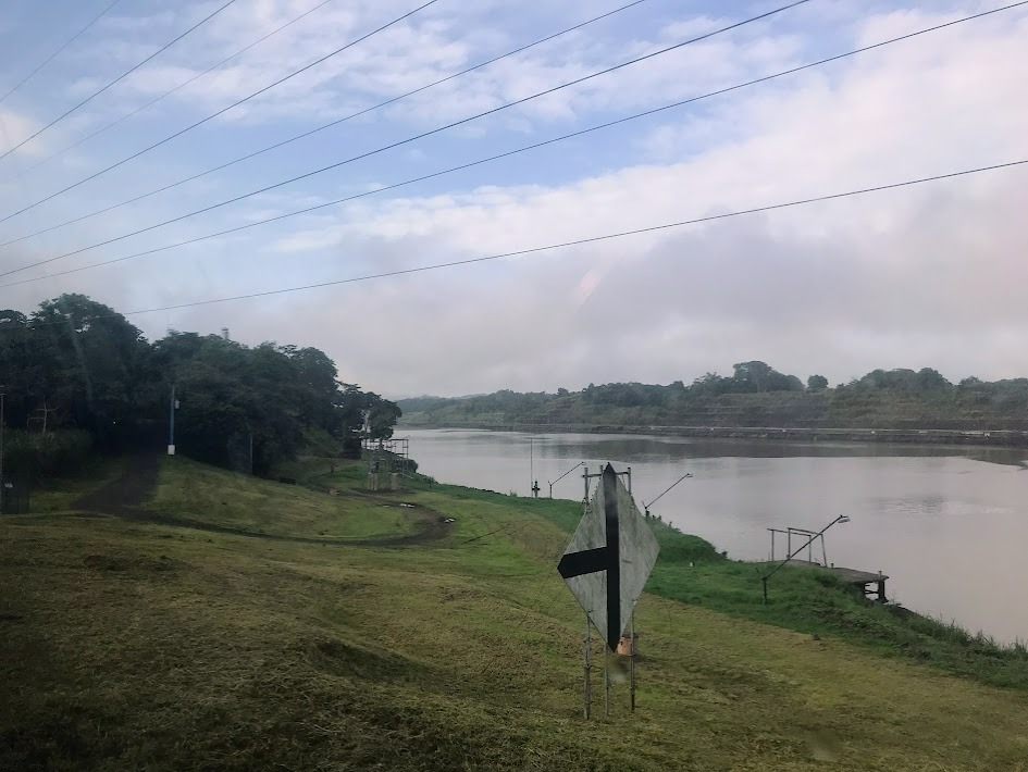
7) Crossing the Río Chagres
You can kind of see our train crossing the railroad bridge that takes us over the Río Chagres, the naturally existing river that became part of the Panama Canal once they built and connected Culebra Cut to it. At this point, we are crossing from the Panama Province into Colón Province, the province that contains Colón, Panama's "second city."
Gamboa City Landing
Gamboa is a small town that sits inside the "elbow," or bend, of the Río Chagres. The town was initially built in the Panama Canal Zone of the United States to house canal employees and their families. Now, it is fully Panamanian occupied. Here we are passing by the Gamboa City Landing, a port for boats traveling through the Panama Canal.
Landmarks 9-12
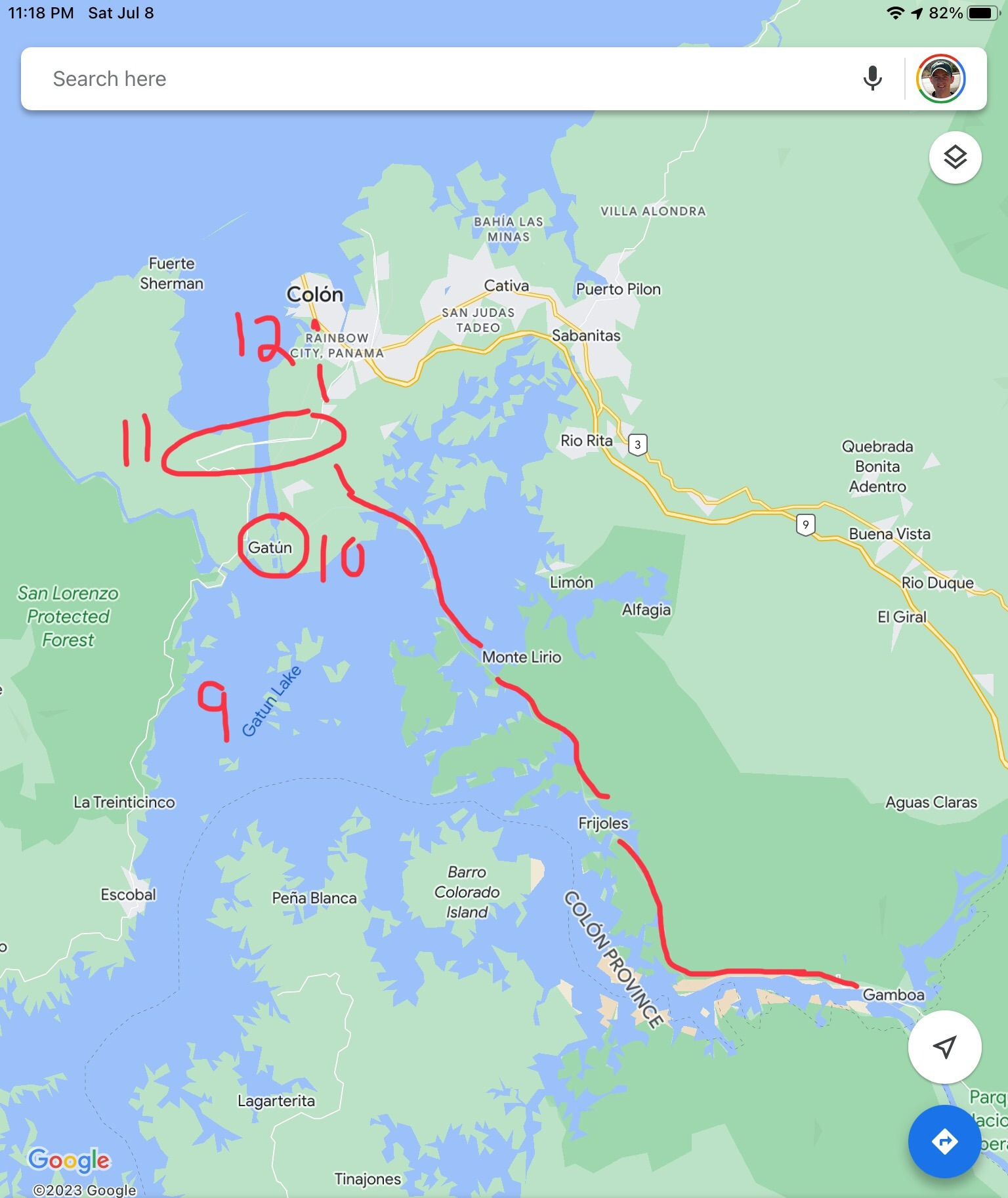
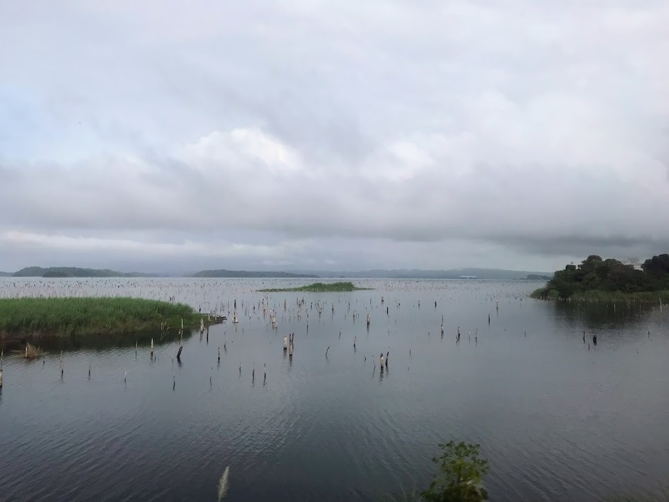
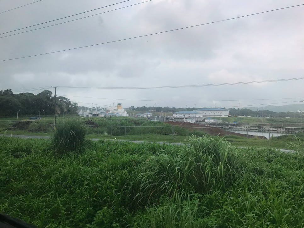
9) Gatún Lake
Here we pass through the Gatún Lake, the largest of the 17 manmade freshwater lakes that were constructed as parts of the Panama Canal. We can't see many boats in the lake from the train because the railroad doesn't pass through the main, most trafficked areas of the lake (obviously).
Gatún Locks
In the picture below, in the distance, you can kind of see the beginning of the Gatún Locks, the lock system on the Atlantic / northern side of the Panama Canal.
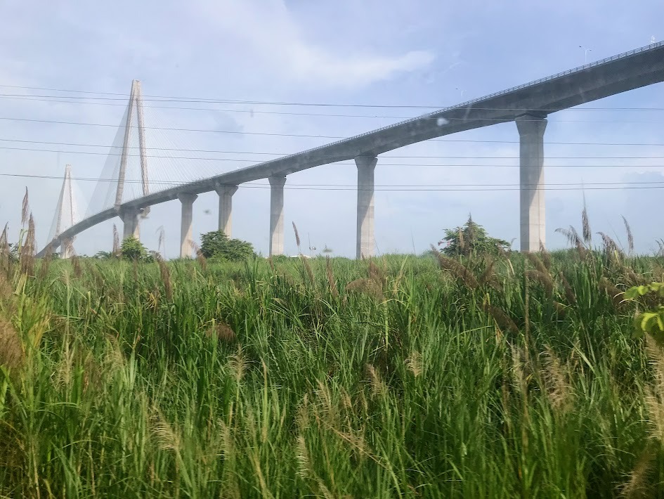
Atlantic Bridge
The Atlantic Bridge is a road bridge that crosses the water of the Atlantic entrance to the Panama Canal right where the natural Limón Bay transitions into the manmade Gatún Locks.
The Atlantic Bridge was designed by the China Communication Construction Company, a majority state-owned engineering and construction company that has been a contractor for many Belt and Road Initiative projects. The Belt and Road Initiative is a major project of the Chinese government's foreign policy under President Xi Jinping that involves investing in infrastructure developments in countries around the world in order to forge stronger ties between them and China. More than 150 countries are participating.
The BBC World Service did a podcast mini-series called "Stories from the New Silk Road: The Americas" in which they examined China's impact on countries in the Americas through the Belt and Road Initiative. Here is a link to the episode about Panama: https://www.bbc.co.uk/programm...
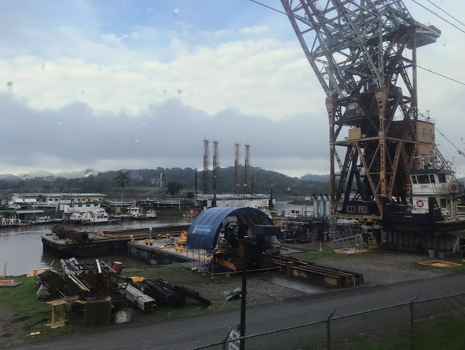
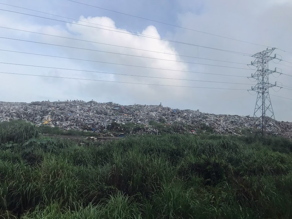
Unknown Pics
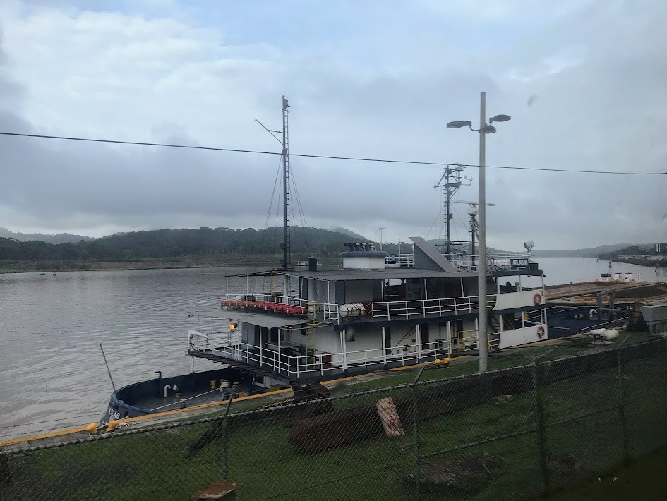
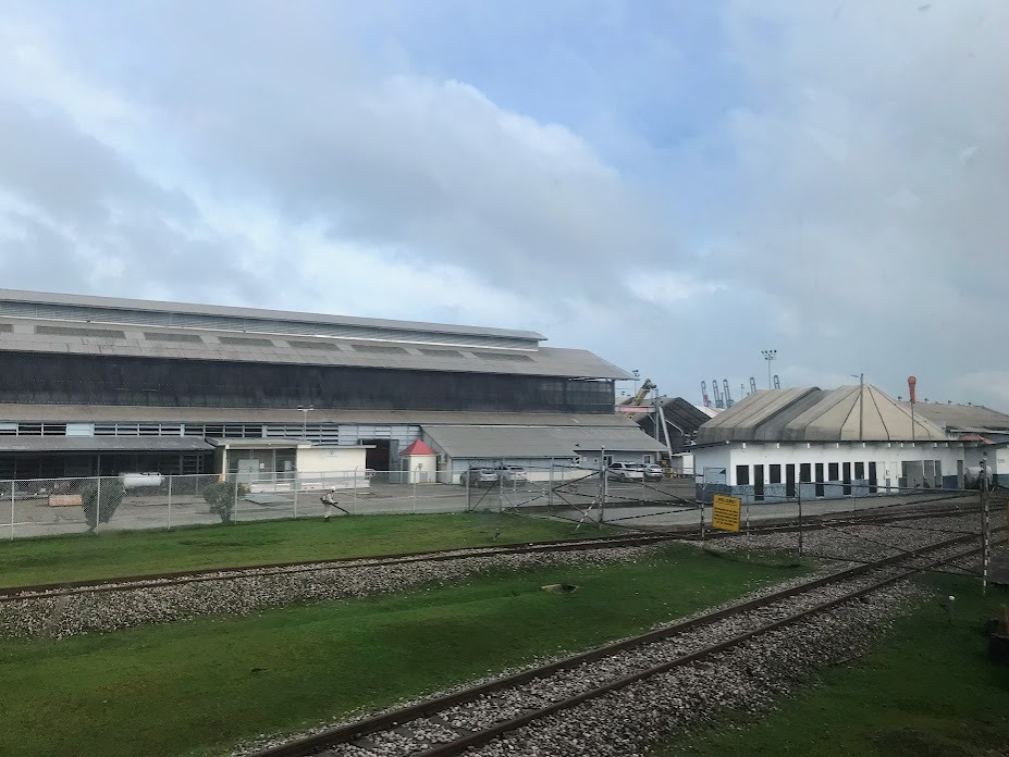
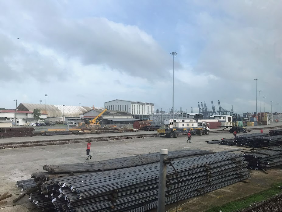
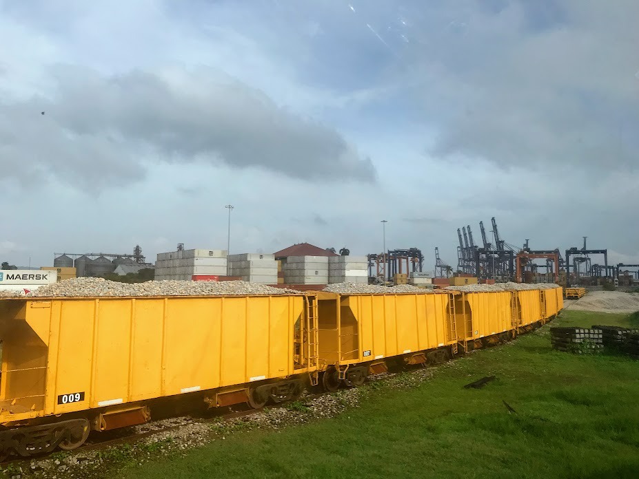
12) Port of Cristobal
This is the port on the Atlantic side of the canal.
Colón Station / The End
The train ends at the Panama Railway Atlantic Station in Colón. Remember that we left in the morning and the train doesn't return to Panama City until 5:00 p.m., so from here you probably want to find some way to fill your day around this part of Panama if you are a tourist like me. Most people don't recommend visiting Colón as a tourist, as there is a lot of crime. A lot of people will visit the nearby Gatún Locks. I made a day trip to a nearby town called Portobelo. You can read about my day trip here:
Post a comment